Zangbu Badong Waterfalls
The Badong Waterfalls of Zangbu are in fact two waterfall clusters. Two falls, 35 metres and 33 metres high, follow one another on the riverbed 600 metres apart.…

Zangbu Badong Waterfalls, Nyingchi · AI illustration for China Trip
Key facts
- Admission
- Free
- Time needed
- 1–3 hours
- By car
- Take the Linzhi–Lhasa Highway → Nyingchi Airport Expressway → X401 → Gangpai Road → Y403. The total distance is about 115 km and the drive takes about 3 hours, passing the Yarlung Zangbo Grand Canyon and the Namcha Barwa viewing platform along the way.
- Guidebook rating
- 5 / 5
From China Self Guided Travel 2025, page 574. Open in Google Maps
About Zangbu Badong Waterfalls
The Badong Waterfalls of Zangbu are in fact two waterfall clusters. Two falls, 35 metres and 33 metres high, follow one another on the riverbed 600 metres apart. The cascades are powerful and spectacular, making them China's most primitive and mysterious waterfall group, known as “the hermit of the Grand Canyon” and “China's most beautiful waterfall.”
Frequently asked questions
How much does Zangbu Badong Waterfalls cost?
Admission to Zangbu Badong Waterfalls is Free, as listed in the 2025 guidebook. Prices can change; check the official channel before you go.
How long should I spend at Zangbu Badong Waterfalls?
Plan on 1–3 hours for Zangbu Badong Waterfalls.
Where is Zangbu Badong Waterfalls?
Zangbu Badong Waterfalls is in Nyingchi, Tibet Autonomous Region, in the Southwest of China.
More places in Nyingchi

Namcha Barwa
Namcha Barwa Peak stands at the meeting point of the Himalayas and the Nyenchen Tanglha Mountains. It is the highest peak at the eastern end of the Himalayas, with an elevation of 7,756 metres. The main summit rises high into the clouds, and there are numerous hot springs at the foot of the mountain. The vegetation here is exceptionally lush, making it an ideal destination for adventurous mountaineering and recuperation.
¥150 (entrance ticket plus sightseeing bus) · 2–4 hours

Basum Tso Lake
Basum Tso, also known as Cuogao Lake, means “Three Rocks, Three Lakes” in Tibetan. It is a famous sacred lake and pilgrimage site of the Nyingma school. The water is so clear that you can see straight to the bottom. Snow-capped mountains surround the lake and are reflected in its surface, while birds such as ruddy shelducks, gulls, and cranes drift quietly across the water. About 100 metres from the shore lies a small island called Tashi Island. Legend says it is a “hollow island,” meaning that it is not connected to the lakebed but floats on the surface. Prayer flags flutter on Tashi Island, and the exquisite Cuozong Gongba Monastery (meaning “castle in the lake”) belongs to the Nyingma school of Tibetan Buddhism, known as the Red Sect. It enshrines Padmasambhava and has a history of 1,500 years. According to local legend, on the 15th day of the fourth month of the Tibetan calendar (around 1 June each year), a long white band emerges from the centre of the lakebed beneath the deep blue water. Locals believe it is a giant white khata offered to King Gesar. On this day, local people also observe the custom of walking around the lake.
¥120 (May–October), ¥60 (November–April) · 2–5 hours

Niyang River Scenic Belt
The Niyang River is the largest tributary on the north bank of the Yarlung Tsangpo and is likened to ‘the tears of a goddess’; locals affectionately call it the ‘Mother River’. The river’s colour is exceptionally beautiful, its water as green as jade. When in motion, it surges and churns, sending up white spray; when still, it is clear and bright, like a piece of jade set into the landscape. A huge boulder stands in the middle of the rapids, sending up a spray of foam as the current rushes past.
Lulang
This is the end of the Nyingchi route. On the far side of Mount Sejila lies a small mountain village where every house is built of timber, and a winding little river flows behind them. A large timber yard is piled high with the branches of ancient trees, and a few horses wander among the enormous trunks. Looking at the growth rings of trees over a metre in diameter, each circle seems like a world of its own. The scenery of Lulang is like an oil painting: mist always clings to the mountainside, mushroom-capped livestock pens dot the slopes, the grasslands are green and damp, and the flowers show the vivid, bright colours that oil paints can never quite capture. In the tranquil town, Tibetan Buddhist monks carry medicine for headaches in their hands as they come and go between villages.
0.5–1 day
Medog
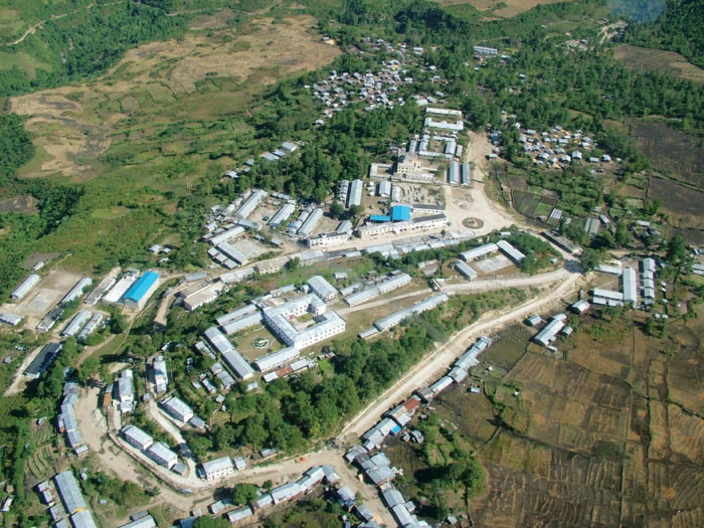
In Tibetan, Medog means “the hidden lotus.” This was once the last place in China without a road. Local people still keep an almost primitive way of life, and the main section of the Yarlung Zangbo Grand Canyon lies hidden here. Vine bridges and cable slides remain the main ways of getting around Medog and are its most distinctive features. The Dexing vine bridge, one of Medog's best-known, has spanned the Yarlung Zangbo River for over 300 years. As you walk across, the bridge sways sharply from side to side with your weight and the wind, a real test of nerve. Crossing by cable slide, you hurtle head-first towards the far bank with your back to the river; it takes considerable courage and good balance to get across safely.
6 days
Sejila Mountain
You would never expect delicate rhododendrons to bloom wildly on mountains at altitudes of 2,900 to 5,300 metres. From mid-April to late June, and especially in June, the whole mountain bursts into bloom with rhododendrons in yellow, white, purple, deep red, light red and pink, in a dazzling variety of forms, magnificent and vast. Here you can enjoy a journey that begins in farmland and orchards above 2,000 metres, rises into vast primeval forest on the mountainside, then gives way to alpine meadows and herds of yaks and horse caravans. If you are lucky, you may see fierce black Tibetan mastiffs with red threads around their necks, held on iron chains. Further up lies the desolate forbidden zone of life, where there is nothing but mani stone piles and fluttering prayer flags. Beyond the pass at over 5,000 metres, a stretch of misty switchbacks awaits.
1 hour