Namcha Barwa
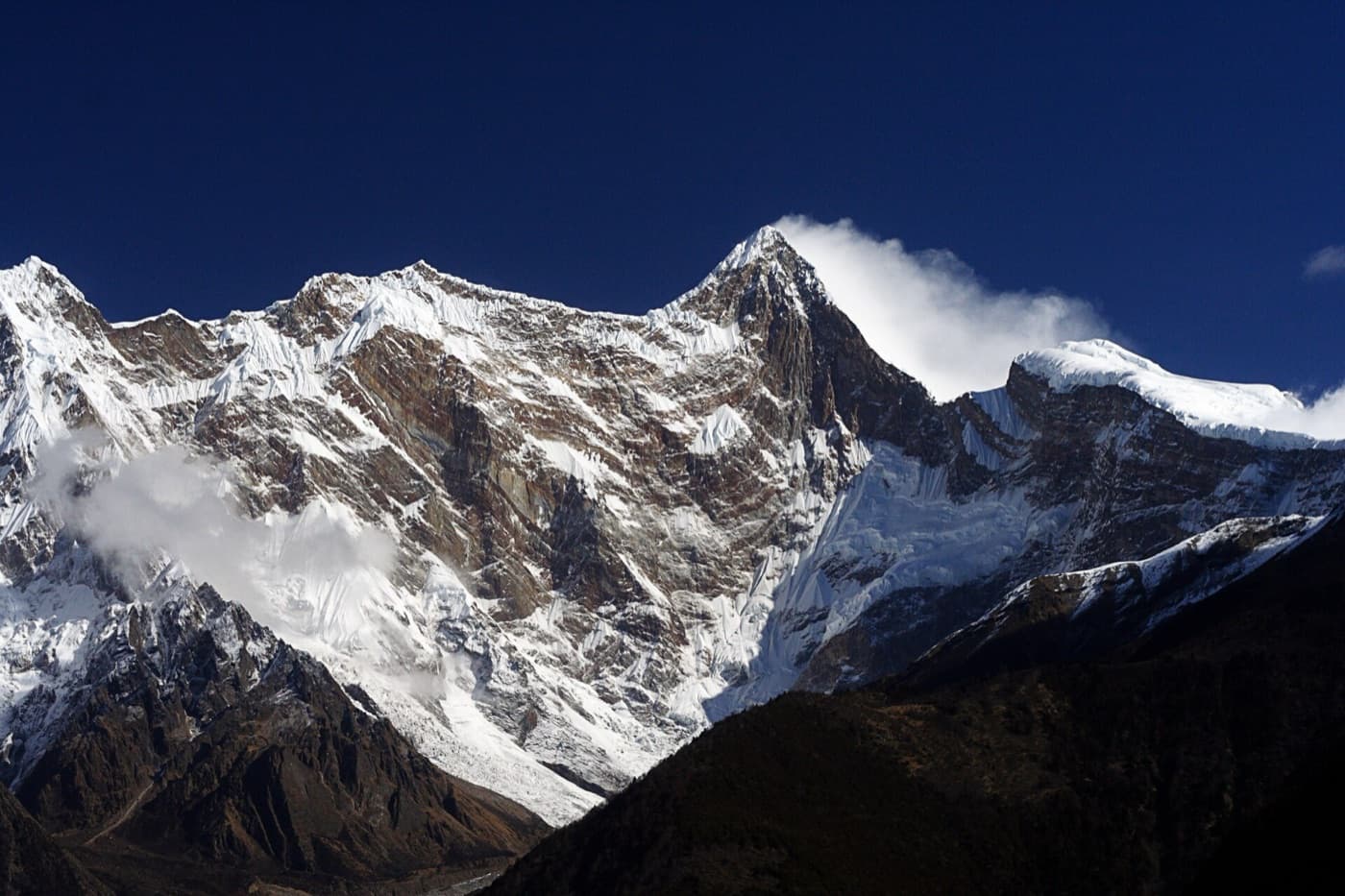
Namcha Barwa Peak stands at the meeting point of the Himalayas and the Nyenchen Tanglha Mountains. It is the highest peak at the eastern end of the Himalayas, with an elevation of 7,756 metres.…

Namcha Barwa, Nyingchi · AI illustration for China Trip
Key facts
- Admission
- ¥150 (entrance ticket plus sightseeing bus)
- Time needed
- 2–4 hours
- Getting there
- Minibuses depart from the bridge in Bayi Town at 8:00 every day. The fare is ¥60 and the journey takes about 4 hours.
- Guidebook rating
- 5 / 5
From China Self Guided Travel 2025, page 580. Open in Google Maps
About Namcha Barwa
Namcha Barwa Peak stands at the meeting point of the Himalayas and the Nyenchen Tanglha Mountains. It is the highest peak at the eastern end of the Himalayas, with an elevation of 7,756 metres. The main summit rises high into the clouds, and there are numerous hot springs at the foot of the mountain. The vegetation here is exceptionally lush, making it an ideal destination for adventurous mountaineering and recuperation.
Tips from the guidebook
- Viewing Namcha Barwa Peak
- If you do not enter Medog, ordinary travellers can view Namcha Barwa Peak from several locations: 1. Sejila Pass: passed on National Highway 318 between Nyingchi and Bomi.
- 2. Pai Town: 80 kilometres from Bayi Town, the urban centre of Nyingchi. Minibuses depart from the bridge at 8:00 every day. The fare is ¥60.
- 3. Zhibai Viewing Platform and Zhibai Village: Continue about 18 kilometres beyond Pai Township to reach the Zhibai Viewing Platform, then drive a few more kilometres to Zhibai Village. There are no regular buses to this area, so you will generally need to hire a vehicle. Zhibai Village is only about 5 kilometres in a straight line from the main summit of Namcha Barwa. From Zhibai Village, you can ask for directions to the base camp for Namcha Barwa.
- 4. Waterway: At the confluence of the two rivers in Bayi Town, tour boats travel up the Yarlung Tsangpo River to Pai Township. After disembarking, you can transfer to a vehicle to continue to the Zhibai Viewing Platform. Round-trip boat fare is ¥580 per person.
Frequently asked questions
How much does Namcha Barwa cost?
Admission to Namcha Barwa is ¥150 (entrance ticket plus sightseeing bus), as listed in the 2025 guidebook. Prices can change; check the official channel before you go.
How do I get to Namcha Barwa?
Minibuses depart from the bridge in Bayi Town at 8:00 every day. The fare is ¥60 and the journey takes about 4 hours.
How long should I spend at Namcha Barwa?
Plan on 2–4 hours for Namcha Barwa.
Where is Namcha Barwa?
Namcha Barwa is in Nyingchi, Tibet Autonomous Region, in the Southwest of China.
More places in Nyingchi

Basum Tso Lake
Basum Tso, also known as Cuogao Lake, means “Three Rocks, Three Lakes” in Tibetan. It is a famous sacred lake and pilgrimage site of the Nyingma school. The water is so clear that you can see straight to the bottom. Snow-capped mountains surround the lake and are reflected in its surface, while birds such as ruddy shelducks, gulls, and cranes drift quietly across the water. About 100 metres from the shore lies a small island called Tashi Island. Legend says it is a “hollow island,” meaning that it is not connected to the lakebed but floats on the surface. Prayer flags flutter on Tashi Island, and the exquisite Cuozong Gongba Monastery (meaning “castle in the lake”) belongs to the Nyingma school of Tibetan Buddhism, known as the Red Sect. It enshrines Padmasambhava and has a history of 1,500 years. According to local legend, on the 15th day of the fourth month of the Tibetan calendar (around 1 June each year), a long white band emerges from the centre of the lakebed beneath the deep blue water. Locals believe it is a giant white khata offered to King Gesar. On this day, local people also observe the custom of walking around the lake.
¥120 (May–October), ¥60 (November–April) · 2–5 hours

Niyang River Scenic Belt
The Niyang River is the largest tributary on the north bank of the Yarlung Tsangpo and is likened to ‘the tears of a goddess’; locals affectionately call it the ‘Mother River’. The river’s colour is exceptionally beautiful, its water as green as jade. When in motion, it surges and churns, sending up white spray; when still, it is clear and bright, like a piece of jade set into the landscape. A huge boulder stands in the middle of the rapids, sending up a spray of foam as the current rushes past.

Zangbu Badong Waterfalls
The Badong Waterfalls of Zangbu are in fact two waterfall clusters. Two falls, 35 metres and 33 metres high, follow one another on the riverbed 600 metres apart. The cascades are powerful and spectacular, making them China's most primitive and mysterious waterfall group, known as “the hermit of the Grand Canyon” and “China's most beautiful waterfall.”
Free · 1–3 hours
Midui Glacier
The main peak of the Midui Glacier rises to 6,800 metres, with a snow line at 4,600 metres and a terminus at only 2,400 metres, making it the glacier with the lowest snow line in the world. The Midui Glacier is formed by the confluence of two world-class ice falls. Each falls more than 800 metres high and over 1,000 metres wide, with a primeval forest between them. Alpine flowers bloom around the glacier, reflecting the snow-capped peaks, while forests stretch out as far as the eye can see, with silver snakes dancing in the mist. The Midui Glacier was named by China National Geography magazine as one of the six most beautiful glaciers in China.
¥50 (sightseeing shuttle bus ¥35) · 3–4 hours
Bonri Sacred Mountain
Bonri Sacred Mountain boasts beautiful scenery, as well as a variety of birds and trees. It is the source of many rivers, including the Yarlung Tsangpo and the Nyang River. Local people follow the Bon religion, and Ajiong Jiebo is revered as the hero who protects the sacred mountain. During the Saga Dawa Festival each year, Bon believers circumambulate the sacred mountain counterclockwise.
¥70 · 1 day
Yarlung Tsangpo Grand Canyon
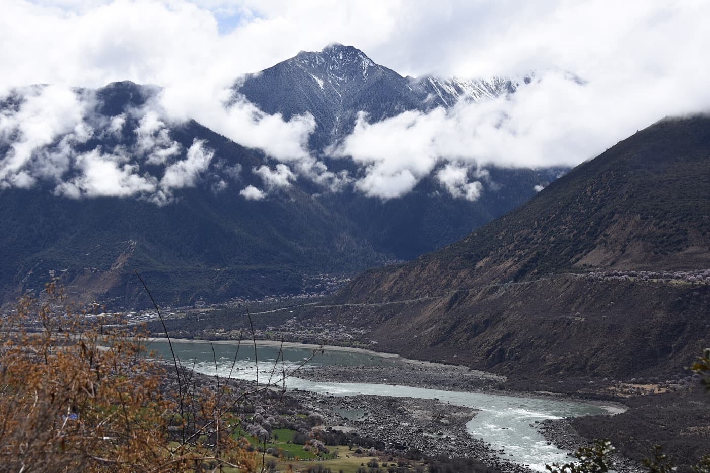
Located on the Qinghai-Tibet Plateau at an altitude of over 3,000 metres, the Yarlung Tsangpo Grand Canyon stretches 496 kilometres. Deep and precipitous, it has been eroded downward by more than 5,380 metres. It contains nine vertical ecological zones, from high-mountain snow and ice belts to low-altitude tropical monsoon rainforests, making it the most complete and well-preserved example of vertical mountain ecosystems in the world. The canyon is also home to a wealth of biological resources, and it is known as “the most beautiful canyon in China.”
Entrance ticket ¥150; sightseeing bus ticket ¥90 (peak season). Entrance ticket plus sightseeing bus ticket ¥128 (off-season). · 1–2 days